
Kampung Sedeng topographic map
Interactive map
Click on the map to display elevation.
About this map
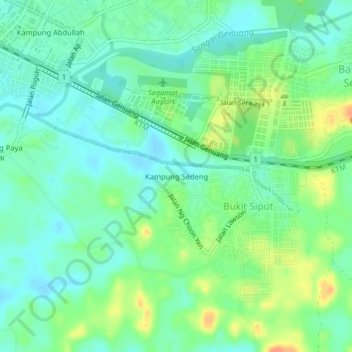
Name: Kampung Sedeng topographic map, elevation, terrain.
Location: Kampung Sedeng, Bukit Siput, Segamat, Johor, 85020, Malaysia (2.46728 102.82149 2.50728 102.86149)
Average elevation: 19 m
Minimum elevation: 5 m
Maximum elevation: 45 m