
Thank you for supporting this site ❤️
Make a donation
Make a donation
Hjortsberga topographic map
Click on the map to display elevation.
Thank you for supporting this site ❤️
Make a donation
Make a donation
About this map
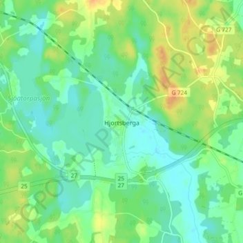
Name: Hjortsberga topographic map, elevation, terrain.
Location: Hjortsberga, Alvesta kommun, Kronobergs län, 342 93, Zweden (56.89430 14.43391 56.93430 14.47391)
Average elevation: 165 m
Minimum elevation: 153 m
Maximum elevation: 185 m
Thank you for supporting this site ❤️
Make a donation
Make a donation
Other topographic maps
Click on a map to view its topography, its elevation and its terrain.