
Thank you for supporting this site ❤️
Make a donation
Make a donation
Point Pelee topographic map
Click on the map to display elevation.
Thank you for supporting this site ❤️
Make a donation
Make a donation
About this map
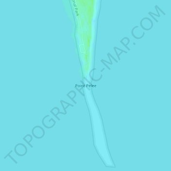
Name: Point Pelee topographic map, elevation, terrain.
Location: Point Pelee, Leamington, Essex County, Ontario, Canada (41.90881 -82.50942 41.90891 -82.50932)
Average elevation: 172 m
Minimum elevation: 171 m
Maximum elevation: 178 m
Thank you for supporting this site ❤️
Make a donation
Make a donation
Other topographic maps
Click on a map to view its topography, its elevation and its terrain.