
Thank you for supporting this site ❤️
Make a donation
Make a donation
Frankenmuth Township topographic map
Click on the map to display elevation.
Thank you for supporting this site ❤️
Make a donation
Make a donation
About this map
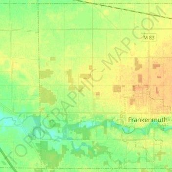
Name: Frankenmuth Township topographic map, elevation, terrain.
Average elevation: 193 m
Minimum elevation: 179 m
Maximum elevation: 204 m
Thank you for supporting this site ❤️
Make a donation
Make a donation
Other topographic maps
Click on a map to view its topography, its elevation and its terrain.
Shattuckville
United States > Michigan > Saginaw County > Saginaw Charter Township
Average elevation: 187 m
Shattuckville
United States > Michigan > Saginaw County > Saginaw Charter Township
Average elevation: 187 m