
Thank you for supporting this site ❤️
Make a donation
Make a donation
Montclair topographic map
Click on the map to display elevation.
Thank you for supporting this site ❤️
Make a donation
Make a donation
About this map
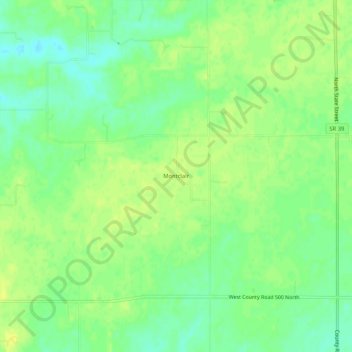
Name: Montclair topographic map, elevation, terrain.
Location: Montclair, Hendricks County, Indiana, 46149, United States (39.82810 -86.58695 39.86810 -86.54695)
Average elevation: 290 m
Minimum elevation: 280 m
Maximum elevation: 297 m
Thank you for supporting this site ❤️
Make a donation
Make a donation
Other topographic maps
Click on a map to view its topography, its elevation and its terrain.
Thank you for supporting this site ❤️
Make a donation
Make a donation
Thank you for supporting this site ❤️
Make a donation
Make a donation