
Thank you for supporting this site ❤️
Make a donation
Make a donation
Gheen topographic map
Click on the map to display elevation.
Thank you for supporting this site ❤️
Make a donation
Make a donation
About this map
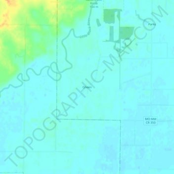
Name: Gheen topographic map, elevation, terrain.
Location: Gheen, Butler County, Missouri, 63953, United States (36.57950 -90.60400 36.61950 -90.56400)
Average elevation: 95 m
Minimum elevation: 89 m
Maximum elevation: 121 m
Thank you for supporting this site ❤️
Make a donation
Make a donation