
Thank you for supporting this site ❤️
Make a donation
Make a donation
Thomas topographic map
Click on the map to display elevation.
Thank you for supporting this site ❤️
Make a donation
Make a donation
About this map
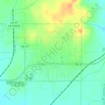
Name: Thomas topographic map, elevation, terrain.
Location: Thomas, Custer County, Oklahoma, United States (35.73957 -98.76532 35.75444 -98.73839)
Average elevation: 535 m
Minimum elevation: 521 m
Maximum elevation: 559 m
Thank you for supporting this site ❤️
Make a donation
Make a donation