
زرمت topographic map
Interactive map
Click on the map to display elevation.
About this map
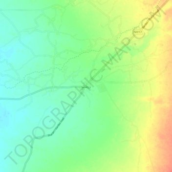
Name: زرمت topographic map, elevation, terrain.
Location: زرمت, زرمت ولسوالۍ, Paktiya, Afghanistan (33.39604 68.99238 33.47604 69.07238)
Average elevation: 2,156 m
Minimum elevation: 2,139 m
Maximum elevation: 2,182 m
Other topographic maps
Click on a map to view its topography, its elevation and its terrain.