
Thank you for supporting this site ❤️
Make a donation
Make a donation
Lakeville topographic map
Click on the map to display elevation.
Thank you for supporting this site ❤️
Make a donation
Make a donation
About this map
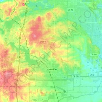
Name: Lakeville topographic map, elevation, terrain.
Location: Lakeville, Dakota County, Minnesota, 55044, United States (44.62344 -93.31873 44.71754 -93.15640)
Average elevation: 305 m
Minimum elevation: 271 m
Maximum elevation: 359 m
Thank you for supporting this site ❤️
Make a donation
Make a donation