
Thank you for supporting this site ❤️
Make a donation
Make a donation
Setema topographic map
Click on the map to display elevation.
Thank you for supporting this site ❤️
Make a donation
Make a donation
About this map
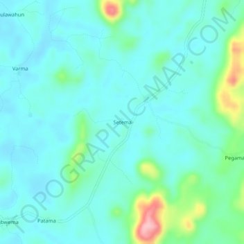
Name: Setema topographic map, elevation, terrain.
Location: Setema, Kenema District, Eastern Province, Sierra Leone (8.10231 -11.21367 8.14231 -11.17367)
Average elevation: 285 m
Minimum elevation: 256 m
Maximum elevation: 412 m
Thank you for supporting this site ❤️
Make a donation
Make a donation