
Keppel Island topographic map
Interactive map
Click on the map to display elevation.
About this map
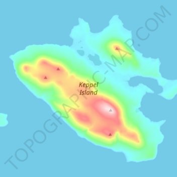
Name: Keppel Island topographic map, elevation, terrain.
Location: Keppel Island, Islas Malvinas, Falkland Islands (-51.35749 -60.04446 -51.28429 -59.90463)
Average elevation: 39 m
Minimum elevation: -1 m
Maximum elevation: 342 m
Other topographic maps
Click on a map to view its topography, its elevation and its terrain.