
บ้านห้วยทราย topographic map
Interactive map
Click on the map to display elevation.
About this map
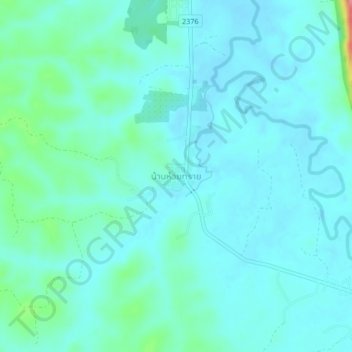
Name: บ้านห้วยทราย topographic map, elevation, terrain.
Location: บ้านห้วยทราย, นายูง, Udon Thani, Thailand (17.85773 102.21200 17.89773 102.25200)
Average elevation: 205 m
Minimum elevation: 189 m
Maximum elevation: 289 m
Other topographic maps
Click on a map to view its topography, its elevation and its terrain.