
Porto topographic map
Interactive map
Click on the map to display elevation.
About this map
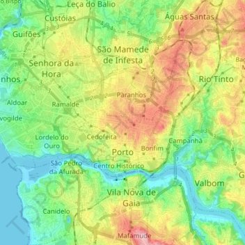
Name: Porto topographic map, elevation, terrain.
Location: Porto, Portugal (41.13835 -8.69129 41.18594 -8.55261)
Average elevation: 77 m
Minimum elevation: -3 m
Maximum elevation: 210 m
Other topographic maps
Click on a map to view its topography, its elevation and its terrain.