
Marietta topographic map
Interactive map
Click on the map to display elevation.
About this map
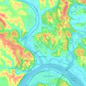
Name: Marietta topographic map, elevation, terrain.
Average elevation: 215 m
Minimum elevation: 180 m
Maximum elevation: 296 m
Other topographic maps
Click on a map to view its topography, its elevation and its terrain.
Relief
Vereinigte Staaten von Amerika > Ohio > Washington County
Relief, Washington County, Ohio, Vereinigte Staaten von Amerika
Average elevation: 229 m