
白川村 topographic map
Interactive map
Click on the map to display elevation.
About this map
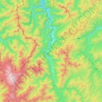
Name: 白川村 topographic map, elevation, terrain.
Location: 白川村, 大野郡, Prefectura de Gifu, Japón (36.09301 136.76495 36.36755 136.97553)
Average elevation: 1,207 m
Minimum elevation: 347 m
Maximum elevation: 2,691 m