
Bilha Tahsil topographic map
Interactive map
Click on the map to display elevation.
About this map
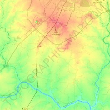
Name: Bilha Tahsil topographic map, elevation, terrain.
Location: Bilha Tahsil, Bilaspur, Chhattisgarh, 495224, Índia (21.83077 81.99108 22.04534 82.22936)
Average elevation: 255 m
Minimum elevation: 225 m
Maximum elevation: 286 m
Other topographic maps
Click on a map to view its topography, its elevation and its terrain.