
上察隅镇 topographic map
Interactive map
Click on the map to display elevation.
About this map
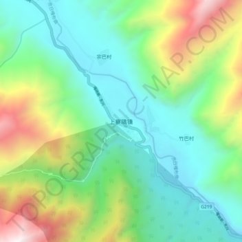
Name: 上察隅镇 topographic map, elevation, terrain.
Location: 上察隅镇, Zayü, 林芝市, Tibet, Chine (28.68169 96.73612 28.76169 96.81612)
Average elevation: 2,559 m
Minimum elevation: 1,819 m
Maximum elevation: 4,324 m