
Thank you for supporting this site ❤️
Make a donation
Make a donation
Huila topographic map
Click on the map to display elevation.
Thank you for supporting this site ❤️
Make a donation
Make a donation
About this map
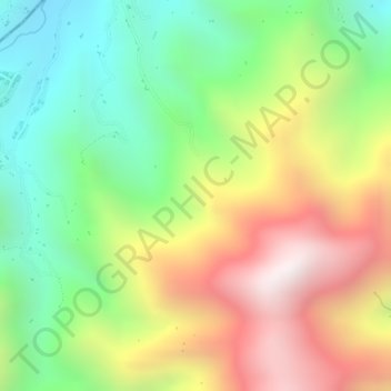
Name: Huila topographic map, elevation, terrain.
Location: Huila, La Plata, Occidente, Huila, Colombia (2.43689 -76.00471 2.45689 -75.98471)
Average elevation: 2,057 m
Minimum elevation: 1,614 m
Maximum elevation: 2,577 m
Thank you for supporting this site ❤️
Make a donation
Make a donation