
Thank you for supporting this site ❤️
Make a donation
Make a donation
cruce san luis topographic map
Click on the map to display elevation.
Thank you for supporting this site ❤️
Make a donation
Make a donation
About this map
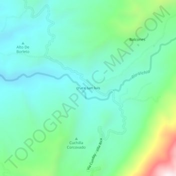
Name: cruce san luis topographic map, elevation, terrain.
Location: cruce san luis, Cunday, Oriente, Tolima, Colombia (3.99550 -74.65533 4.03550 -74.61533)
Average elevation: 899 m
Minimum elevation: 670 m
Maximum elevation: 1,657 m
Thank you for supporting this site ❤️
Make a donation
Make a donation