
Dykes Pond topographic map
Interactive map
Click on the map to display elevation.
About this map
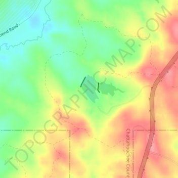
Name: Dykes Pond topographic map, elevation, terrain.
Location: Dykes Pond, Chattahoochee County, Georgia, United States (32.23490 -84.81205 32.23917 -84.80891)
Average elevation: 124 m
Minimum elevation: 80 m
Maximum elevation: 167 m