
Thank you for supporting this site ❤️
Make a donation
Make a donation
Großpösna topographic map
Click on the map to display elevation.
Thank you for supporting this site ❤️
Make a donation
Make a donation
About this map
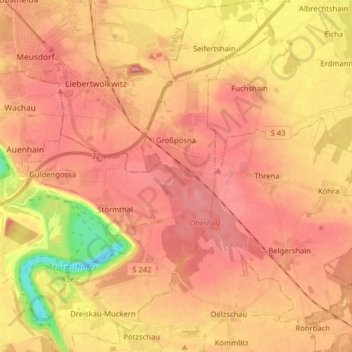
Name: Großpösna topographic map, elevation, terrain.
Location: Großpösna, Landkreis Leipzig, Saxony, 04463, Germany (51.20686 12.40194 51.30594 12.54408)
Average elevation: 142 m
Minimum elevation: 70 m
Maximum elevation: 178 m
Thank you for supporting this site ❤️
Make a donation
Make a donation
Other topographic maps
Click on a map to view its topography, its elevation and its terrain.