
Reynisfjara Beach topographic map
Interactive map
Click on the map to display elevation.
About this map
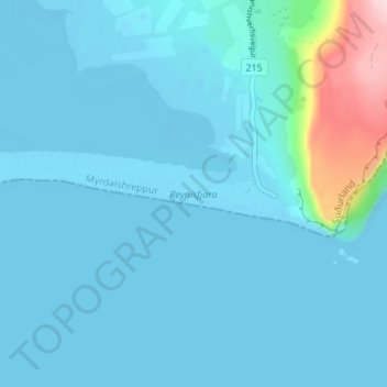
Name: Reynisfjara Beach topographic map, elevation, terrain.
Location: Reynisfjara Beach, Mýrdalshreppur, Southern Region, Iceland (63.40103 -19.10322 63.40776 -19.03512)
Average elevation: 23 m
Minimum elevation: -5 m
Maximum elevation: 238 m
Other topographic maps
Click on a map to view its topography, its elevation and its terrain.