
Englewood topographic map
Interactive map
Click on the map to display elevation.
About this map
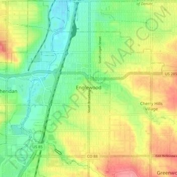
Name: Englewood topographic map, elevation, terrain.
Location: Englewood, Arapahoe County, Colorado, USA (39.61669 -105.03496 39.67867 -104.95938)
Average elevation: 1,637 m
Minimum elevation: 1,600 m
Maximum elevation: 1,686 m