
Îles Brothers topographic map
Interactive map
Click on the map to display elevation.
About this map
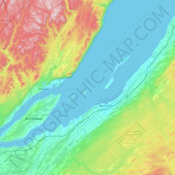
Name: Îles Brothers topographic map, elevation, terrain.
Average elevation: 261 m
Minimum elevation: -3 m
Maximum elevation: 1,147 m
Other topographic maps
Click on a map to view its topography, its elevation and its terrain.
Île aux Grues
Canada > Québec > Montmagny (MRC) > Saint-Antoine-de-l'Isle-aux-Grues
Île aux Grues, Saint-Antoine-de-l'Isle-aux-Grues, Montmagny (MRC), Chaudière-Appalaches, Québec, Canada
Average elevation: 2 m