
Thank you for supporting this site ❤️
Make a donation
Make a donation
Allu topographic map
Click on the map to display elevation.
Thank you for supporting this site ❤️
Make a donation
Make a donation
About this map
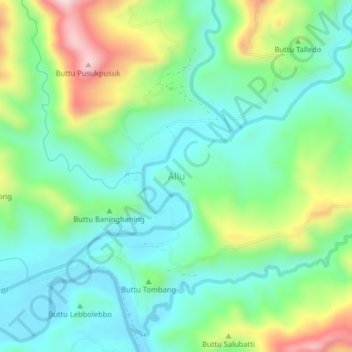
Name: Allu topographic map, elevation, terrain.
Location: Allu, Polewali Mandar, West Sulawesi, Sulawesi, Indonesia (-3.41636 118.97319 -3.37636 119.01319)
Average elevation: 151 m
Minimum elevation: 26 m
Maximum elevation: 442 m
Thank you for supporting this site ❤️
Make a donation
Make a donation
Other topographic maps
Click on a map to view its topography, its elevation and its terrain.