
Thank you for supporting this site ❤️
Make a donation
Make a donation
Meser topographic map
Click on the map to display elevation.
Thank you for supporting this site ❤️
Make a donation
Make a donation
About this map
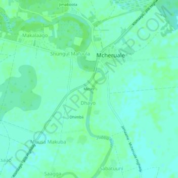
Name: Meser topographic map, elevation, terrain.
Location: Meser, Dhayo, Jamame District, Lower Juba, Jubaland, Somalia (0.22211 42.75489 0.26211 42.79489)
Average elevation: 15 m
Minimum elevation: 11 m
Maximum elevation: 18 m
Thank you for supporting this site ❤️
Make a donation
Make a donation