
Thank you for supporting this site ❤️
Make a donation
Make a donation
Artonish topographic map
Click on the map to display elevation.
Thank you for supporting this site ❤️
Make a donation
Make a donation
About this map
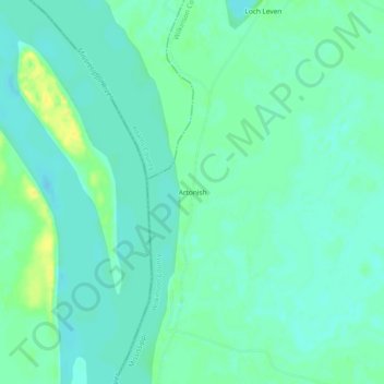
Name: Artonish topographic map, elevation, terrain.
Location: Artonish, Wilkinson County, Mississippi, United States (31.16990 -91.60373 31.20990 -91.56373)
Average elevation: 15 m
Minimum elevation: 8 m
Maximum elevation: 30 m
Thank you for supporting this site ❤️
Make a donation
Make a donation
Other topographic maps
Click on a map to view its topography, its elevation and its terrain.