
Thank you for supporting this site ❤️
Make a donation
Make a donation
Jingkang topographic map
Click on the map to display elevation.
Thank you for supporting this site ❤️
Make a donation
Make a donation
About this map
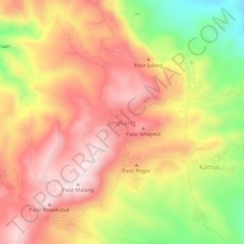
Name: Jingkang topographic map, elevation, terrain.
Location: Jingkang, Sumedang, West Java, Java, Indonesia (-6.73374 107.84477 -6.69374 107.88477)
Average elevation: 487 m
Minimum elevation: 236 m
Maximum elevation: 658 m
Thank you for supporting this site ❤️
Make a donation
Make a donation
Other topographic maps
Click on a map to view its topography, its elevation and its terrain.