
Thank you for supporting this site ❤️
Make a donation
Make a donation
Pakiad topographic map
Click on the map to display elevation.
Thank you for supporting this site ❤️
Make a donation
Make a donation
About this map
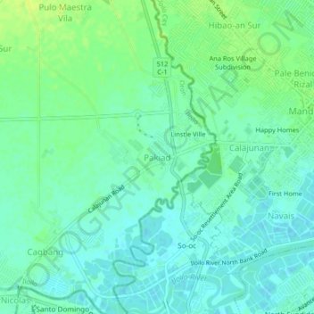
Name: Pakiad topographic map, elevation, terrain.
Location: Pakiad, Oton, Iloilo, Western Visayas, 5020, Philippines (10.69139 122.49659 10.73139 122.53659)
Average elevation: 6 m
Minimum elevation: -2 m
Maximum elevation: 15 m
Thank you for supporting this site ❤️
Make a donation
Make a donation
Other topographic maps
Click on a map to view its topography, its elevation and its terrain.