
Thank you for supporting this site ❤️
Make a donation
Make a donation
Bierset topographic map
Click on the map to display elevation.
Thank you for supporting this site ❤️
Make a donation
Make a donation
About this map
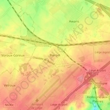
Name: Bierset topographic map, elevation, terrain.
Location: Bierset, Grâce-Hollogne, Liège, Wallonie, 4460, Belgique (50.63471 5.43126 50.67471 5.47126)
Average elevation: 168 m
Minimum elevation: 116 m
Maximum elevation: 197 m
Thank you for supporting this site ❤️
Make a donation
Make a donation
Other topographic maps
Click on a map to view its topography, its elevation and its terrain.