
Sugar Grove topographic map
Interactive map
Click on the map to display elevation.
About this map
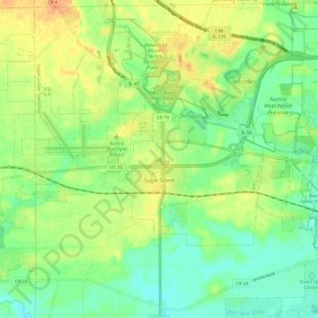
Name: Sugar Grove topographic map, elevation, terrain.
Location: Sugar Grove, Kane County, Illinois, United States of America (41.73100 -88.51336 41.82340 -88.39809)
Average elevation: 215 m
Minimum elevation: 200 m
Maximum elevation: 239 m