
Le Castelle topographic map
Click on the map to display elevation.
About this map
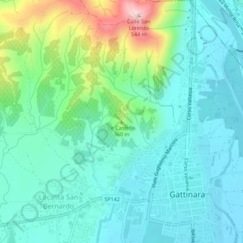
Name: Le Castelle topographic map, elevation, terrain.
Location: Le Castelle, Gattinara, Vercelli, Piedmont, 13045, Italy (45.62223 8.36063 45.62233 8.36073)
Average elevation: 314 m
Minimum elevation: 252 m
Maximum elevation: 520 m