
Pleasant Garden topographic map
Interactive map
Click on the map to display elevation.
About this map
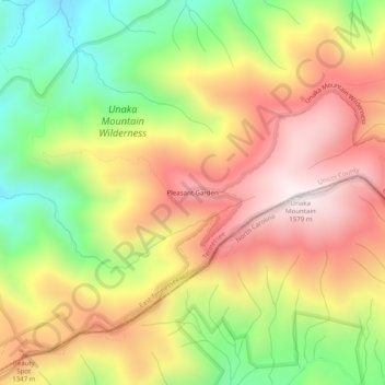
Name: Pleasant Garden topographic map, elevation, terrain.
Location: Pleasant Garden, Unicoi County, Tennessee, United States (36.11400 -82.33069 36.15400 -82.29069)
Average elevation: 1,195 m
Minimum elevation: 788 m
Maximum elevation: 1,570 m