
Thank you for supporting this site ❤️
Make a donation
Make a donation
Kampung Simee topographic map
Click on the map to display elevation.
Thank you for supporting this site ❤️
Make a donation
Make a donation
About this map
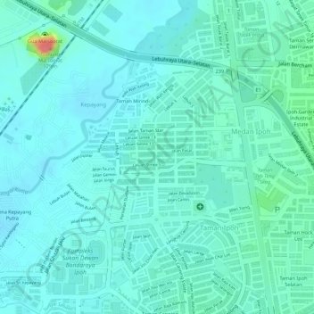
Name: Kampung Simee topographic map, elevation, terrain.
Location: Kampung Simee, Ipoh, Kinta, Perak, Malaysia (4.61518 101.10374 4.62008 101.11358)
Average elevation: 54 m
Minimum elevation: 41 m
Maximum elevation: 110 m
Thank you for supporting this site ❤️
Make a donation
Make a donation