
Thank you for supporting this site ❤️
Make a donation
Make a donation
Augusta Lake topographic map
Click on the map to display elevation.
Thank you for supporting this site ❤️
Make a donation
Make a donation
About this map
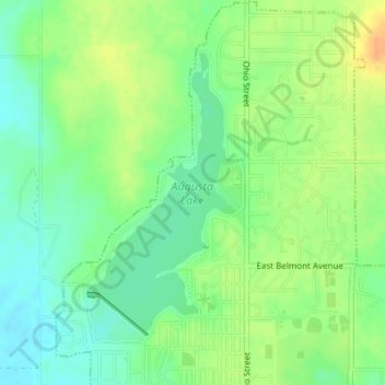
Name: Augusta Lake topographic map, elevation, terrain.
Location: Augusta Lake, Augusta, Butler County, Kansas, United States (37.69639 -96.98555 37.71605 -96.97170)
Average elevation: 388 m
Minimum elevation: 373 m
Maximum elevation: 407 m
Thank you for supporting this site ❤️
Make a donation
Make a donation