
Thank you for supporting this site ❤️
Make a donation
Make a donation
Khosa Randhir topographic map
Click on the map to display elevation.
Thank you for supporting this site ❤️
Make a donation
Make a donation
About this map
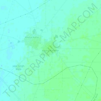
Name: Khosa Randhir topographic map, elevation, terrain.
Location: Khosa Randhir, Dharamkot Tahsil, Moga, Punjab, 152028, India (30.87185 75.10572 30.91185 75.14572)
Average elevation: 219 m
Minimum elevation: 215 m
Maximum elevation: 223 m
Thank you for supporting this site ❤️
Make a donation
Make a donation