
Thank you for supporting this site ❤️
Make a donation
Make a donation
Banjara topographic map
Click on the map to display elevation.
Thank you for supporting this site ❤️
Make a donation
Make a donation
About this map
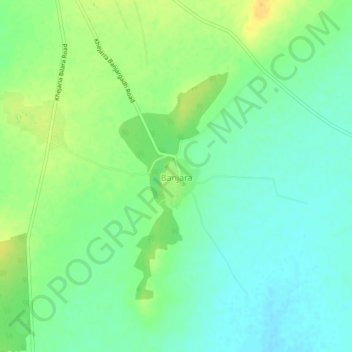
Name: Banjara topographic map, elevation, terrain.
Location: Banjara, Bilara Tehsil, Jodhpur(Rural), Rajasthan, India (26.27628 73.68064 26.31628 73.72064)
Average elevation: 285 m
Minimum elevation: 273 m
Maximum elevation: 301 m
Thank you for supporting this site ❤️
Make a donation
Make a donation