
Kainberg topographic map
Interactive map
Click on the map to display elevation.
About this map
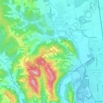
Name: Kainberg topographic map, elevation, terrain.
Location: Kainberg, Leibnitz, Steiermark, 8430, Österreich (46.77978 15.49271 46.81978 15.53271)
Average elevation: 317 m
Minimum elevation: 261 m
Maximum elevation: 479 m