
Sempol topographic map
Interactive map
Click on the map to display elevation.
About this map
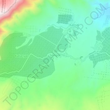
Name: Sempol topographic map, elevation, terrain.
Location: Sempol, Bondowoso, Oost-Java, Indonesië (-8.02832 114.12637 -7.98832 114.16637)
Average elevation: 1,167 m
Minimum elevation: 972 m
Maximum elevation: 1,638 m