
Thank you for supporting this site ❤️
Make a donation
Make a donation
Badagri Creek topographic map
Click on the map to display elevation.
Thank you for supporting this site ❤️
Make a donation
Make a donation
About this map
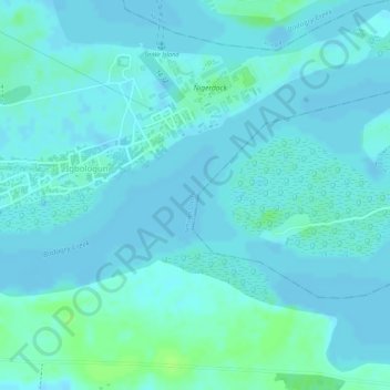
Name: Badagri Creek topographic map, elevation, terrain.
Location: Badagri Creek, Igbologun, Amuwo Odofin, État de Lagos, Nigéria (6.41717 3.33717 6.41727 3.33727)
Average elevation: 3 m
Minimum elevation: -2 m
Maximum elevation: 11 m
Thank you for supporting this site ❤️
Make a donation
Make a donation