
Nain topographic map
Interactive map
Click on the map to display elevation.
About this map
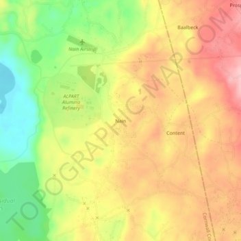
Name: Nain topographic map, elevation, terrain.
Location: Nain, Saint Elizabeth, Cornwall County, Jamaica (17.94421 -77.61995 17.98421 -77.57995)
Average elevation: 201 m
Minimum elevation: 108 m
Maximum elevation: 276 m