
Angreau topographic map
Interactive map
Click on the map to display elevation.
About this map
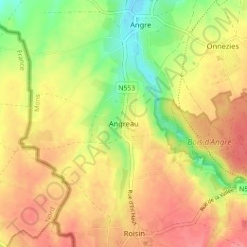
Name: Angreau topographic map, elevation, terrain.
Location: Angreau, Honnelles, Mons, Hainaut, Wallonie, 7387, Belgique (50.33093 3.67113 50.37093 3.71113)
Average elevation: 78 m
Minimum elevation: 36 m
Maximum elevation: 110 m