
Thank you for supporting this site ❤️
Make a donation
Make a donation
Hatiyakheda topographic map
Click on the map to display elevation.
Thank you for supporting this site ❤️
Make a donation
Make a donation
About this map
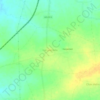
Name: Hatiyakheda topographic map, elevation, terrain.
Location: Hatiyakheda, Gulabganj Tahsil, Vidisha, Madhya Pradesh, India (23.61065 77.88786 23.65065 77.92786)
Average elevation: 425 m
Minimum elevation: 412 m
Maximum elevation: 439 m
Thank you for supporting this site ❤️
Make a donation
Make a donation