
McCaskill topographic map
Interactive map
Click on the map to display elevation.
About this map
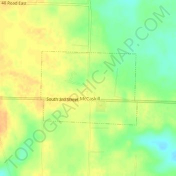
Name: McCaskill topographic map, elevation, terrain.
Location: McCaskill, Hempstead County, Arkansas, États-Unis d'Amérique (33.91300 -93.65059 33.92432 -93.63275)
Average elevation: 131 m
Minimum elevation: 113 m
Maximum elevation: 144 m