
Taapaca topographic map
Interactive map
Click on the map to display elevation.
About this map
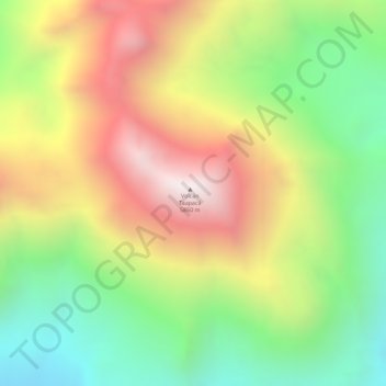
Name: Taapaca topographic map, elevation, terrain.
Average elevation: 5,341 m
Minimum elevation: 4,875 m
Maximum elevation: 5,832 m
Other topographic maps
Click on a map to view its topography, its elevation and its terrain.
Guallatiri
Chile > Región de Arica y Parinacota > Putre
Guallatiri, Putre, Provincia de Parinacota, Región de Arica y Parinacota, Chile
Average elevation: 5,651 m