
Kampung Seri Binjai topographic map
Interactive map
Click on the map to display elevation.
About this map
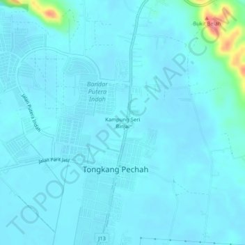
Name: Kampung Seri Binjai topographic map, elevation, terrain.
Average elevation: 10 m
Minimum elevation: 1 m
Maximum elevation: 105 m
Other topographic maps
Click on a map to view its topography, its elevation and its terrain.
Kampung Baru Tongkang Pecah
Malaysia > Johor > Tongkang Pechah
Kampung Baru Tongkang Pecah, Tongkang Pechah, Batu Pahat, Johor, Malaysia
Average elevation: 6 m