
Arteaga topographic map
Interactive map
Click on the map to display elevation.
About this map
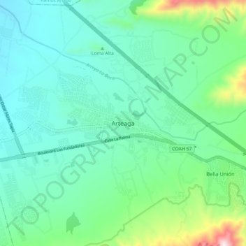
Name: Arteaga topographic map, elevation, terrain.
Location: Arteaga, Coahuila de Zaragoza, México (25.41042 -100.89238 25.49042 -100.81238)
Average elevation: 1,707 m
Minimum elevation: 1,533 m
Maximum elevation: 2,360 m