
Thank you for supporting this site ❤️
Make a donation
Make a donation
Monroe Township topographic map
Click on the map to display elevation.
Thank you for supporting this site ❤️
Make a donation
Make a donation
About this map
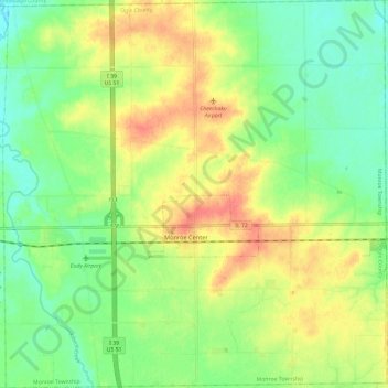
Name: Monroe Township topographic map, elevation, terrain.
Location: Monroe Township, Ogle County, Illinois, 61052, United States (42.06401 -89.05694 42.15233 -88.93889)
Average elevation: 243 m
Minimum elevation: 219 m
Maximum elevation: 274 m
Thank you for supporting this site ❤️
Make a donation
Make a donation
Other topographic maps
Click on a map to view its topography, its elevation and its terrain.