
Thank you for supporting this site ❤️
Make a donation
Make a donation
Qasalow topographic map
Click on the map to display elevation.
Thank you for supporting this site ❤️
Make a donation
Make a donation
About this map
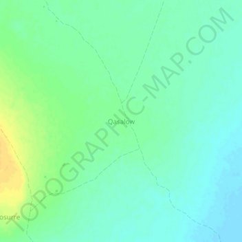
Name: Qasalow topographic map, elevation, terrain.
Location: Qasalow, Baardheere بااردىرآ, Gedo, Jubaland, Somalia (1.97401 42.22715 2.01401 42.26715)
Average elevation: 89 m
Minimum elevation: 80 m
Maximum elevation: 105 m
Thank you for supporting this site ❤️
Make a donation
Make a donation