
Welgelegen topographic map
Interactive map
Click on the map to display elevation.
About this map
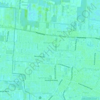
Name: Welgelegen topographic map, elevation, terrain.
Location: Welgelegen, Distrikt Paramaribo, Paramaribo, Suriname (5.82673 -55.22940 5.84598 -55.18460)
Average elevation: 4 m
Minimum elevation: -1 m
Maximum elevation: 10 m
Other topographic maps
Click on a map to view its topography, its elevation and its terrain.
Tammenga
Suriname > Paramaribo > Distrikt Paramaribo
Tammenga, Distrikt Paramaribo, Paramaribo, Suriname
Average elevation: 3 m